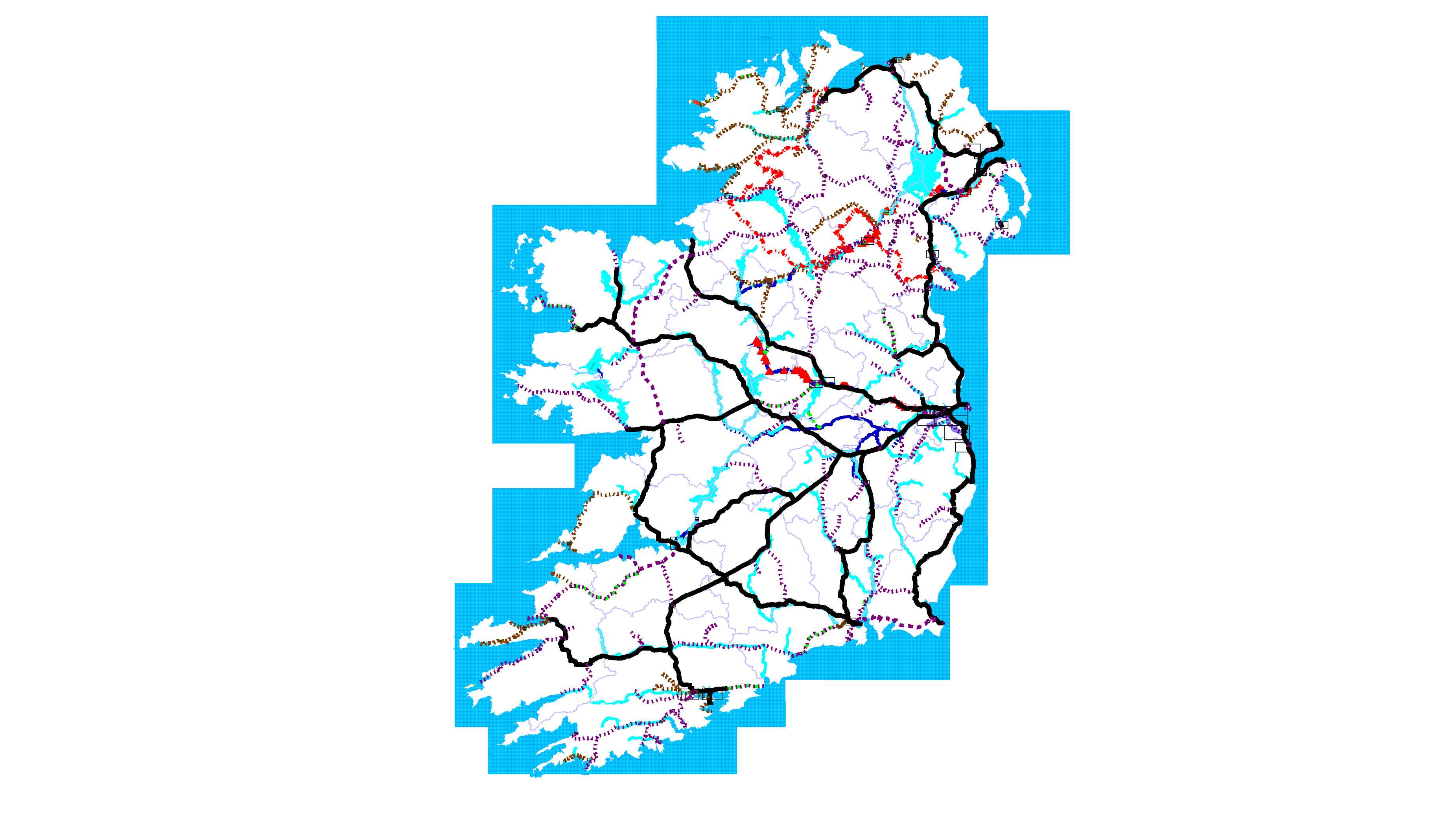
This is an ongoing project to create an online map of the industrial heritage of Ireland. Version 1 saw an initial focus on marking all the current and former public railways on the island of Ireland and the stations thereon. This phase is effectively complete and Version 2 below adds in the primary canals/river navigations as well as showing significant rivers. Some other industrial heritage features have been added where context requires, e.g. reservoirs.
There are 85 main maps at a scale of 1:100000 along with inset maps for locations of significant concentration of railways/canals. At this stage of the project, the historic urban tram systems in Dublin, Cork and Belfast and the single tram lines in Derry and Galway have not been included. The LUAS in Dublin is included.
Inset maps are indicated by a rectangle around the area shown on each map - the links to these are present. All stations have a hotlink linking to a separate page for that station which gives further information about the station. I have excluded most level crossing based request stops added to various company networks in the 1930s at this stage (they will be added eventually).
The other omission is the stopping places on two 'rural' tramways in Dublin - the Dublin & Lucan Electric tramway (and extension to Leixlip) and the Hill of Howth Tramway as well as the Giant's Causeway Tramway. These will be added eventually.
The next stage of this project will see me add non linear IH features such as mills, factories etc to be added to the maps.