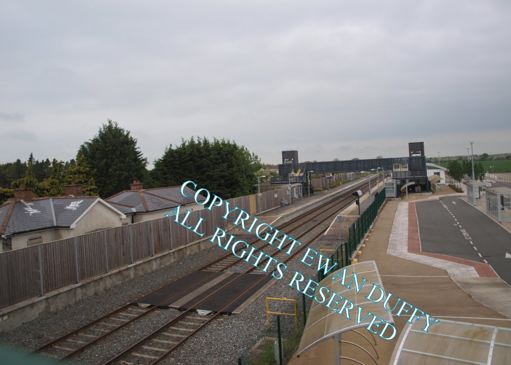
Site Description
Approaching the station, the original water tower can be seen on the Down side before the road overbridge. The station at Dunboyne is located on the site of the original station closed in 1947. There are two platforms, with a modern station building on the Up side. The original station building is on the Down side south of the platforms and is privately owned.Photographs
Photo Gallery - Dunboyne Station
Google Street View - Dunboyne Station
Links
Irish Rail Station Information - Dunboyne Station (Link checked 28072021)
Chronological Details
| Opened | Closed | Company | Name | Notes |
|---|---|---|---|---|
| 29/08/1862 | 25/01/1947 | D&MR | Dunboyne | |
| 03/09/2010 | / /Open | IR | Dunboyne |
Geographical Details
| Section Start | Section Finish | Distance | Units | Milepost | Measured from |
|---|---|---|---|---|---|
| Clonsilla Junction | M3 Parkway | 2.9 | Miles | 10.25 | Broadstone Station |