Site Description
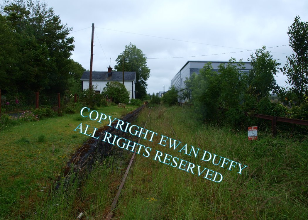
Level Crossing. There was a two platformed station on the Limerick side of the level crossing until 1963. The running line serves the Up platform, on which is the station building. The goods store was on the Down side. There is a modern era replica station name sign beside the level crossing.Photographs
Photo Gallery - Ballindine Station
Google Street View - Ballindine Station
Links
Chronological Details
Geographical Details
| Section Start | Section Finish | Distance | Units | Milepost | Measured from |
|---|---|---|---|---|---|
| Athenry | Claremorris | 28.14 | Miles | 12.5 | Tuam Station |