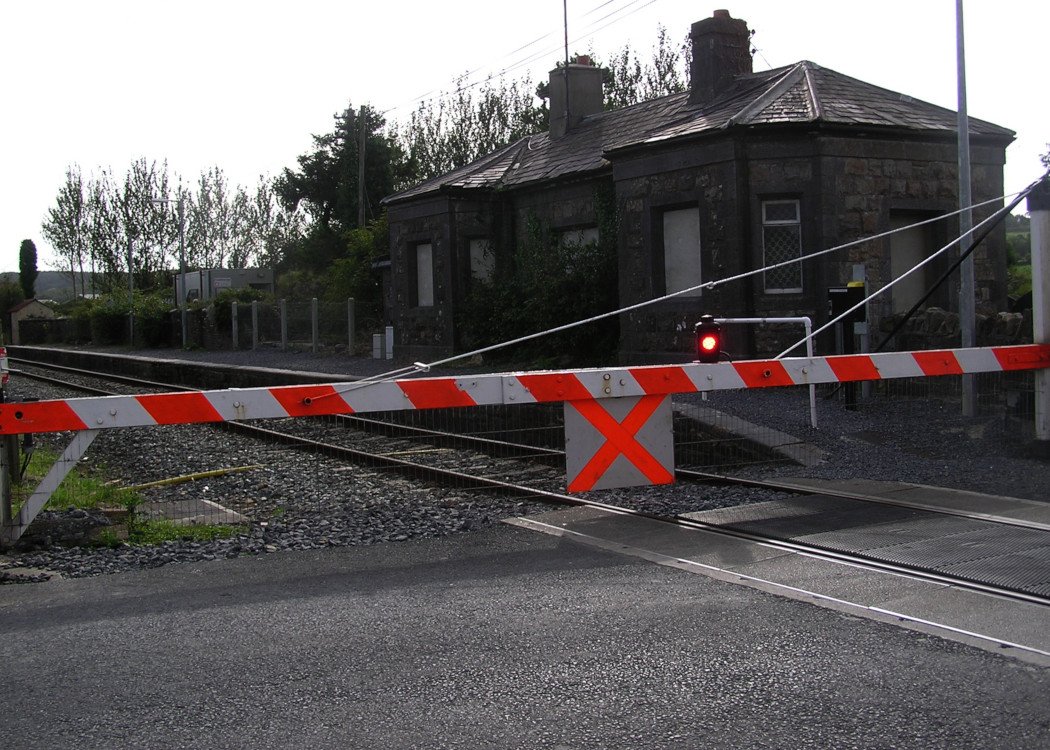
Site Description
Level Crossing. There was a two platformed station to the south of the crossing until 1962, with the station building on the Up side. The goods area was behind this at the Waterford end of the station. There was a loop on the Down side. The station was a block post untilPhotographs
Photo Gallery - Mullinavat Station
Google Street View - Mullinavat Station
Links
Chronological Details
| Opened | Closed | Company | Name | Notes |
|---|---|---|---|---|
| 21/05/1853 | 31/12/1962 | W&KR |
Geographical Details
| Section Start | Section Finish | Distance | Units | Milepost | Measured from |
|---|---|---|---|---|---|
| Kildare | Waterford | 74.01 | Miles | 51.5 | Portlaoise Station |