Site Description
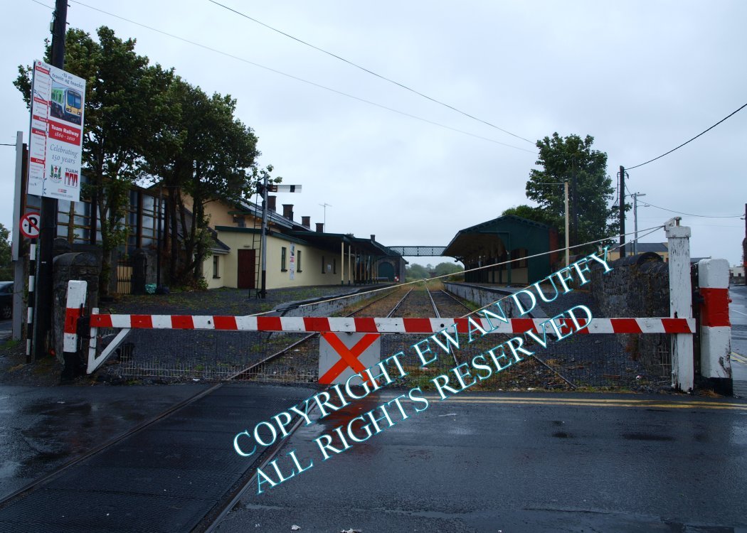
Approaching the station, there is a disused loading bank on the Up side. There was previously a loop on both sides of the line at this end of the station. That on the Up side served the Up platform on which is the disused station building and a water tower. The goods store is at the Limerick end of this. A footbridge connects thie platforms.. The loop on the Down side was the goods loop and served a loading bank and, via a turntable, gave access to the now defunct WESTRAIL operational base which was located here. The base of the signal cabin, retaining its lever frame, a block post until 1994, is on the Down side at the Limerick end of the station. There is a level crossing at the Claremorris end of the station.Photographs
Photo Gallery - Tuam Station
Google Street View - Tuam Station
Links
Chronological Details
| Opened | Closed | Company | Name | Notes |
|---|---|---|---|---|
| 27/09/1860 | 03/04/1976 | A&TR | Tuam |
Geographical Details
| Section Start | Section Finish | Distance | Units | Milepost | Measured from |
|---|---|---|---|---|---|
| Athenry | Claremorris | 15.52 | Miles | 76 | Limerick Station |